
Suitable 3D Geometry for the San Andreas Fault ShakeOut Scenario 2.0 from Seismicity
Craig NicholsonPublished August 30, 2026, SCEC Contribution #15519, 2026 SCEC Annual Meeting Poster #080 (PDF)
Poster Image:
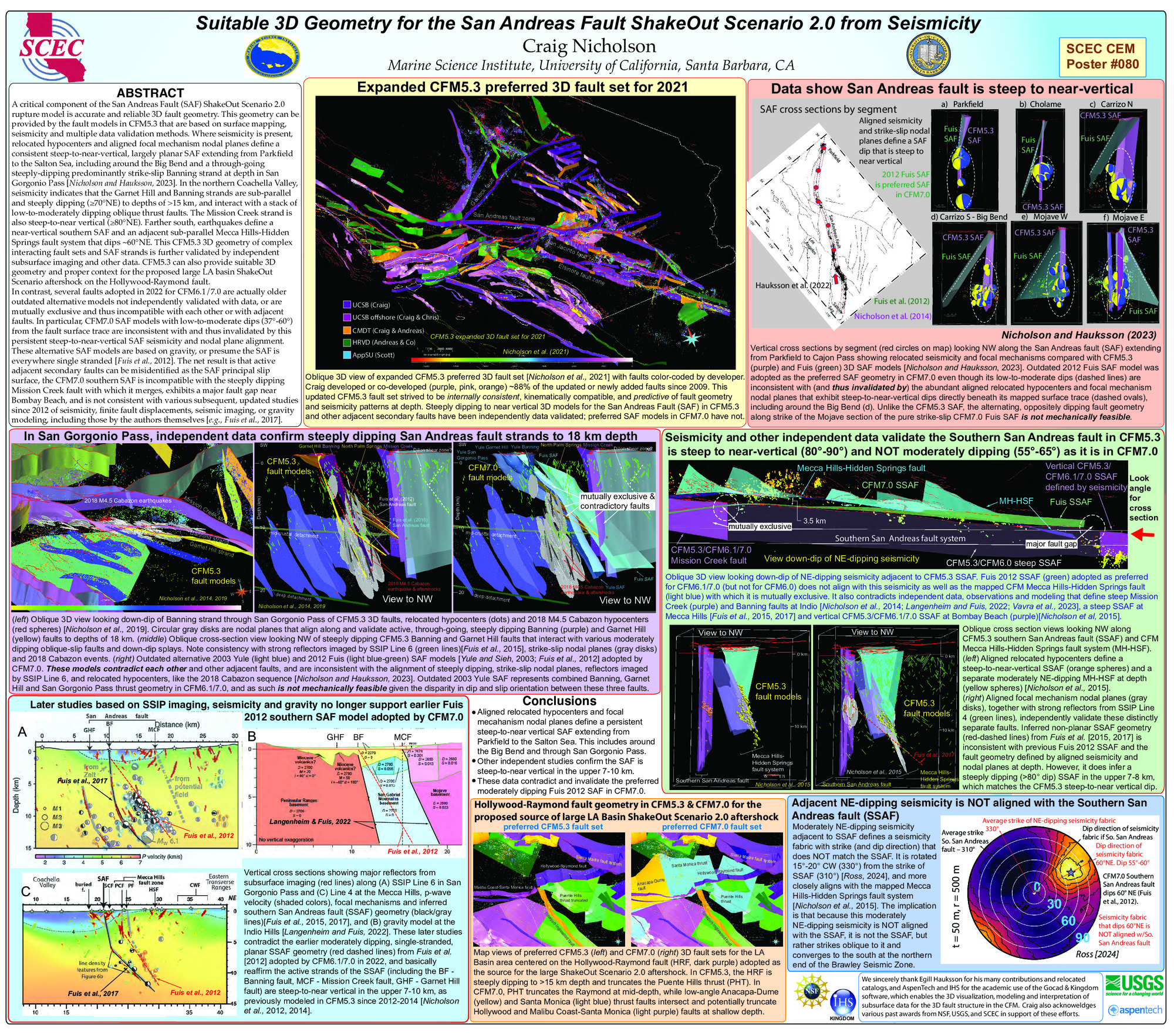
In contrast, several faults adopted in 2022 for CFM6.1/7.0 are actually older outdated alternative models not independently validated with data, or are mutually exclusive and thus incompatible with each other or with adjacent faults. In particular, CFM7.0 SAF models with low-to-moderate dips (37°-60°) from the fault surface trace are inconsistent with and thus invalidated by this persistent steep-to-near-vertical SAF seismicity and nodal plane alignment. These alternative SAF models are based on gravity, or presume the SAF is everywhere single stranded [Fuis et al., 2012]. The net result is that active adjacent secondary faults can be misidentified as the SAF principal slip surface, the CFM7.0 southern SAF is incompatible with the steeply dipping Mission Creek fault with which it merges, exhibits a major fault gap near Bombay Beach, and is not consistent with various subsequent, updated studies since 2012 of seismicity, finite fault displacements, seismic imaging, or gravity modeling, including those by the authors themselves [e.g., Fuis et al., 2017; Langenheim and Fuis, 2022].
Key Words
San Andreas fault, 3D fault geometry, ShakeOut scenario, CFM model comparison
Citation
Nicholson, C. (2026, 08). Suitable 3D Geometry for the San Andreas Fault ShakeOut Scenario 2.0 from Seismicity. Poster Presentation at 2026 SCEC Annual Meeting.
Related Projects & Working Groups
Community Earth Models (CEM)


